Andhra Pradesh, a state in India, uses a system of PIN codes (Postal Index Numbers) to identify and sort mail efficiently. These codes, also known as zip codes or postal codes, are six digits long and follow a specific format.
The PIN Prefix of the Postal Code of Andhra Pradesh is 51 to 53.
Find Andhra Pradesh State Pincodes
An Andhra Pradesh PIN Code is a 6-digit postal number used to identify a specific post office, delivery area, district, and postal route within Andhra Pradesh. It helps letters, parcels, bank documents, government notices, and online deliveries reach the correct location with fewer delays. Since many cities and towns have more than one post office, users should check the exact locality or post office before using a code.
Andhra Pradesh has a wide postal network across coastal cities, temple towns, port regions, agricultural belts, industrial areas, and rural mandals. Vijayawada, Visakhapatnam, Guntur, Tirupati, Kurnool, Nellore, Rajahmundry, Kakinada, Anantapur, Eluru, Ongole, Srikakulam, and Vizianagaram all have important postal routes. A correct postal code helps with address verification, courier serviceability, banking, KYC, loan applications, eCommerce deliveries, and government records.
Andhra Pradesh Post Offices & Pin Codes Highlights
Andhra Pradesh’s postal network covers major cities, coastal towns, rural mandals, port-linked regions, and administrative centres. Vijayawada supports important state-level postal movement, while Visakhapatnam handles high-volume urban and port-linked communication. Guntur, Kurnool, Tirupati, Nellore, Kakinada, Rajahmundry, and Anantapur also work as important regional delivery points.
| Highlight | Details |
| Postal code format | 6-digit Postal Index Number |
| Common Andhra Pradesh prefix | Most PIN codes in the state begin with 5 |
| Major city example | Vijayawada HO uses 520001 |
| Postal circle | Andhra Pradesh Postal Circle |
| Useful for | Mail delivery, banking, KYC, loans, documents, and eCommerce |
Andhra Pradesh District List
The table below shows the list of districts in Andhra Pradesh. To check the district-wise pin codes, you can click on the linked districts from the table below.
| Anakapalli | Ananthapuramu | Annamayya |
| Alluri Sitharama Raju | Bapatla | Chittoor |
| East Godavari | Eluru | Guntur |
| Kakinada | Konaseema | Krishna |
| Kurnool | Nandyal | NTR |
| Palnadu | Parvathipuram Manyam | Prakasam |
| SPSR Nellore | Srikakulam | Sri Sathya Sai |
| Tirupati | Visakhapatnam | Vizianagaram |
| West Godavari | YSR Kadapa | — |

Steps to Use Andhra Pradesh Pincode Finder Tool
Start with the state, then move to the district, and finally choose the post office. This step-by-step method reduces errors and gives a more accurate result than searching by city name alone.
- Select the state: Choose Andhra Pradesh from the state dropdown. If you select only the state, you can view district-level options linked to Andhra Pradesh.
- Select the district: Choose the district where the post office or locality is located. For example, select NTR, Visakhapatnam, Guntur, Kurnool, Tirupati, Nellore, or East Godavari.
- Select the post office: Choose the exact post office name. This step gives the most accurate result because one district can have many post offices.
| Sample Input | Sample Output |
| State: Andhra Pradesh District: NTR Post Office: Vijayawada HO | Post Office: Vijayawada HO PIN Code: 520001 State: Andhra Pradesh Office Type: HO Delivery Status: Delivery |
Structure of Andhra Pradesh PIN Codes
Every PIN code in India follows a 6-digit format. The first few digits help route mail to the correct region and sorting area. The last three digits identify the post office that handles the final stage of postal movement.
| Digit Position | Component | Explanation |
| 1st digit | Region | Shows the broad postal region. Andhra Pradesh PIN codes generally start with 5. |
| 2nd digit | Sub-region | Helps narrow the postal route within the larger region. |
| 3rd digit | Sorting district | Guides mail to the correct sorting district or postal division. |
| Last 3 digits | Post office | Identify the specific delivery post office or related postal office. |
In the code 520001, the digits help route mail through the Andhra Pradesh postal system and finally to the Vijayawada Head Office. This structure helps India Post process large volumes of letters and parcels with fewer address errors.
Example: Say for Guntur PIN Code 522001
First digit (5): Zone 5 (Andhra Pradesh)
Second and third digits (22): Sorting district Guntur
Last three digits (001): Guntur Head Post Office
Types of Post Offices
The Indian postal system functions on a national scale, structured into zones, districts, circles, regions, divisions, and local post offices, including BPOs, HOs, SOs, BOs, etc. This intricate network guarantees effective mail management nationwide, fostering seamless communication and connectivity.
Let’s explore this further for a better understanding.
| Abbreviation | Full Form |
| G.P.O | General Post Office |
| H.O | Head Office |
| S.O | Sub-Office |
| B.O | Branch Office |
About India Post & Pincodes
Serving as the cornerstone of the Indian Postal System, India Post plays a pivotal role in connecting the nation seamlessly. The extensive network of post offices facilitates streamlined communication and logistics. The introduction of PIN codes in 1972 has been instrumental in enhancing sorting and delivery efficiency.
Expanding its scope beyond conventional services, India Post provides a variety of postal saving schemes for the general public, women, children, and senior citizens, contributing to economic empowerment. In a country characterized by diverse landscapes, India Post stands as an essential lifeline, positively influencing the lives of millions.
Overview of Postal Circles in Andhra Pradesh
Andhra Pradesh functions as a separate postal circle under India Post. The Chief Postmaster General, Andhra Pradesh Circle, operates from Vijayawada, and the circle manages postal services through regions, divisions, head offices, sub-offices, and branch offices. This structure helps the department manage both high-volume city mail and last-mile rural delivery.
The postal network supports different types of locations across Andhra Pradesh. Vijayawada handles important administrative and commercial movement. Visakhapatnam supports port-linked business, defence, education, and urban delivery needs. Guntur, Kurnool, Tirupati, Nellore, Kakinada, Rajahmundry, Anantapur, Eluru, Ongole, Srikakulam, and Vizianagaram act as key regional service points.
- Vijayawada network: Handles administrative mail, commercial parcels, business communication, and movement across the Krishna-Guntur belt.
- Visakhapatnam network: Supports port-linked movement, urban delivery, education hubs, industrial areas, and north coastal postal routes.
- Coastal Andhra network: Covers important delivery routes around Kakinada, Rajahmundry, Eluru, Machilipatnam, Nellore, and Srikakulam.
- Rayalaseema network: Serves Kurnool, Anantapur, Kadapa, Tirupati, Chittoor, Nandyal, and nearby interior regions.
- Rural network: Uses branch offices and delivery staff to connect villages, mandals, gram panchayats, and smaller settlements.
| Postal Hub | Primary PIN Code | Operational Scope |
| Vijayawada Head Office | 520001 | Major postal hub for Vijayawada and central Andhra Pradesh movement. |
| Visakhapatnam Head Office | 530001 | Key postal point for north coastal Andhra Pradesh and port-linked communication. |
| Guntur Head Office | 522002 | Important sorting and delivery point for the Guntur region. |
| Kurnool Head Office | 518001 | Major service point for Rayalaseema postal movement. |
| Nellore Head Office | 524001 | Supports postal delivery across Nellore and nearby coastal areas. |
Role of India Post in Managing PIN Codes
India Post manages PIN codes to make address sorting, routing, and delivery more accurate. Each Andhra Pradesh PIN Code points to a specific post office or postal delivery area. This helps prevent confusion when two localities have similar names or when one city has several postal zones.
- Mail sorting: PIN codes help sorting centres send letters and parcels to the right district, division, and post office.
- Address verification: Banks, NBFCs, insurers, and government departments use PIN codes to verify customer addresses.
- eCommerce delivery: Courier partners and online sellers use PIN codes to check serviceability, delivery time, and return pickup availability.
- Government services: PIN codes support Aadhaar, passport, voter ID, welfare records, notices, and other citizen services.
- Financial access: Post offices also support savings, insurance, money transfer, and India Post Payments Bank services in many areas.
For users, this means the PIN code should match the exact post office and locality. A general city code may not work for every address, especially in Vijayawada, Visakhapatnam, Guntur, Tirupati, and other large locations.
Total Number of Districts and Postal Regions
Andhra Pradesh is served through a layered postal structure of postal regions, divisions, head offices, sub-offices, and branch offices. District-level government directories may change after administrative updates, while postal divisions follow operational needs. A district can have many post offices and multiple PIN codes. In some cases, nearby localities may share the same PIN code if they come under the same delivery office.
| Postal Region | General Coverage | Key Sorting Hubs |
| Vijayawada Region | Vijayawada, Guntur, Krishna, NTR, Eluru, West Godavari, and nearby central coastal areas. | Vijayawada HO, Guntur HO, Eluru HO, and related postal divisions. |
| Visakhapatnam Region | Visakhapatnam, Srikakulam, Vizianagaram, Anakapalli, Kakinada, Rajahmundry, and north coastal areas. | Visakhapatnam HO, Kakinada HO, Rajahmundry HO, and regional post offices. |
| Kurnool Region | Kurnool, Nandyal, Anantapur, Kadapa, Tirupati, Chittoor, Nellore, Prakasam, and Rayalaseema-side service areas. | Kurnool HO, Tirupati HO, Kadapa HO, Nellore HO, and district-level hubs. |
DIGIPIN
DIGIPIN is a digital addressing system from India Post. It gives a precise location code based on latitude and longitude. A normal 6-digit postal code identifies a delivery area, while DIGIPIN helps identify a more exact point on the map.
- What is DIGIPIN: It is a 10-character alphanumeric code linked to a small location grid.
- How to find it: Users can access the official DIGIPIN service and allow location access or select a point manually.
- Where it helps: It can support courier delivery, emergency response, mapping, and address verification in areas with unclear address formats.
Easy Tips to Find Your PIN Code Quickly
- Search with the exact post office or locality name.
- Check the district before using the code.
- Do not use one general city code for every locality.
- Match the post office type and delivery status.
- Check old utility bills, bank records, Aadhaar details, or official letters.
- Use the exact code while filling loan, bank, courier, and government forms.
- Save frequently used home and office codes for quick access.
Common Issues with Andhra Pradesh PIN Codes
PIN code mistakes usually happen when users select a nearby area, depend on memory, or enter only a city-level code. These errors may look small, but they can affect delivery and verification.
- Wrong locality: A nearby locality may have a different code.
- Similar names: Some villages or areas may share similar names across districts.
- Old documents: Older address records may show outdated or mismatched details.
- Delivery status confusion: Some offices may not handle direct delivery.
- Typing errors: One wrong digit can route mail to another sorting area.
Tips to Use the Correct PIN Code
- Verify the code before using it for important documents.
- Match the PIN code with the correct post office name.
- Check district and state details in the result.
- Avoid guessing based on nearby localities.
- Use the full address along with the 6-digit code.
- For banking or loans, match the code with address proof.
- For business shipping, confirm serviceability before dispatch.
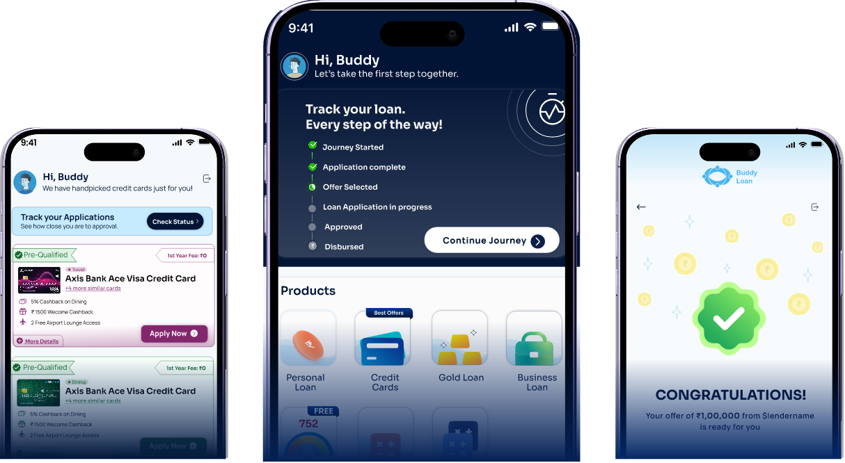
Download the Buddy Loan App Now!
One solution to each of your financial needs at your fingertip.

Scan to download now